



Measured with purpose
Specialist surveying and technical services supporting accurate, efficient and compliant mining operations.

WHO WE ARE
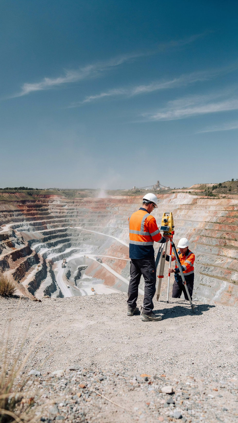
Surveying built around mining
Azimuth Technical Services provides precision surveying solutions for new and existing mining projects, combining technical expertise, accuracy and practical on-site support.
Accuracy | Experience | Compliance | Reliability
Our Capabilities
From setting out and stockpile measurement to pit surveying, infrastructure and environmental monitoring, our services provide the accurate information mining operations depend on.
Topographical Detail Survey
Comprehensive mapping and analysis of terrain, ensuring detailed topographical data for informed decision-making.

Exploration Borehole Staking & Final Collar Survey
Precision in every step of exploration, from staking boreholes to final collar surveys, to provide accurate geological data for new and existing projects.

Pit Surveying
In-depth pit surveys covering all mining activities and geological features, contributing to the efficient planning and execution of mining operations.

Infrastructure Staking
Accurate staking out of infrastructure on new projects, providing the groundwork for the successful development of mining facilities.

Measurement of Infrastructure
Updating current surface plans and Tailings Management Plans (TMP) through precise measurement of all infrastructure elements.

Setting Out Operations
Expert setting out of cut lines, pre-split lines, rehab levels, and coal edges during mining operations, ensuring precise execution.

Stockpile Surveys
Regular surveys of ROM, product, and discard stockpiles at pits, plants, and sidings, meeting client frequency requirements.

Environmental Monitoring
Conducting surveys for environmental monitoring points, providing crucial data for plan updates and compliance with environmental regulations.

Calculation Services
Monthly reconciliation of material handling, assessment of mining losses, evaluation of out-of-seam contamination, and accurate calculation of actual strip ratios.
Topographical Detail Survey
Comprehensive mapping and analysis of terrain, ensuring detailed topographical data for informed decision-making.
Exploration Borehole Staking & Final Collar Survey
Precision in every step of exploration, from staking boreholes to final collar surveys, to provide accurate geological data for new and existing projects.
Pit Surveying
In-depth pit surveys covering all mining activities and geological features, contributing to the efficient planning and execution of mining operations.

Infrastructure Staking
Accurate staking out of infrastructure on new projects, providing the groundwork for the successful development of mining facilities.
Measurement of Infrastructure
Updating current surface plans and Tailings Management Plans (TMP) through precise measurement of all infrastructure elements.
Setting Out Operations
Expert setting out of cut lines, pre-split lines, rehab levels, and coal edges during mining operations, ensuring precise execution.
Stockpile Surveys
Regular surveys of ROM, product, and discard stockpiles at pits, plants, and sidings, meeting client frequency requirements.
Environmental Monitoring
Conducting surveys for environmental monitoring points, providing crucial data for plan updates and compliance with environmental regulations.
Calculation Services
Monthly reconciliation of material handling, assessment of mining losses, evaluation of out-of-seam contamination, and accurate calculation of actual strip ratios.
Our Services

COMMITMENT TO EXCELLENCE

At Azimuth, our commitment goes beyond delivering accurate surveys. We are dedicated to fostering long-term partnerships with our clients, providing solutions that contribute to the success and sustainability of mining operations.


Accuracy in every detail
Every point. Every measurement. Every detail.

Legal Compliance
A Certificated Mine Surveyor is required to carry the Legal Appointment as stipulated in SECT 7(2) & REG 17(2)(d) of the MHSA.
Our Certificated Mine Surveyor oversees all scheduled DMR Plan Inspections and Site Visits.
Azimuth Drafting Team led by our mine surveyor ensuring all compulsory mine plans are kept to DMR specification and requirements and submitted to DMR.
The compulsory plans delivered monthly includes the following:
-
Government Plan
-
General Surface Plan
-
Rehabilitation Plan
-
Rehabilitation Quantum Plan
-
Underground Escape Route Plan
-
VOHE Underground Plan
-
Traffic Management Plan
-
Ramp Gradients Plan
-
Driver Traffic Management Plan
-
Area of Responsibility Plan
-
Hazard Identification Plan
-
All Mining Notes (Setting Out, Restrictions and Warnings)
-
Blast Radius Notification Plan
